Satellite imagery explainer
A fortnightly letter about what satellite images of fields and floods really show
I’m Vivek. Every other Thursday I explain what a free satellite image of a field, a flood or a lake does and does not show, and I sell worksheets, guides and two video courses.
Contents
New
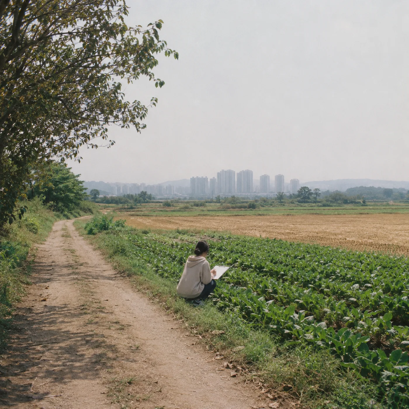
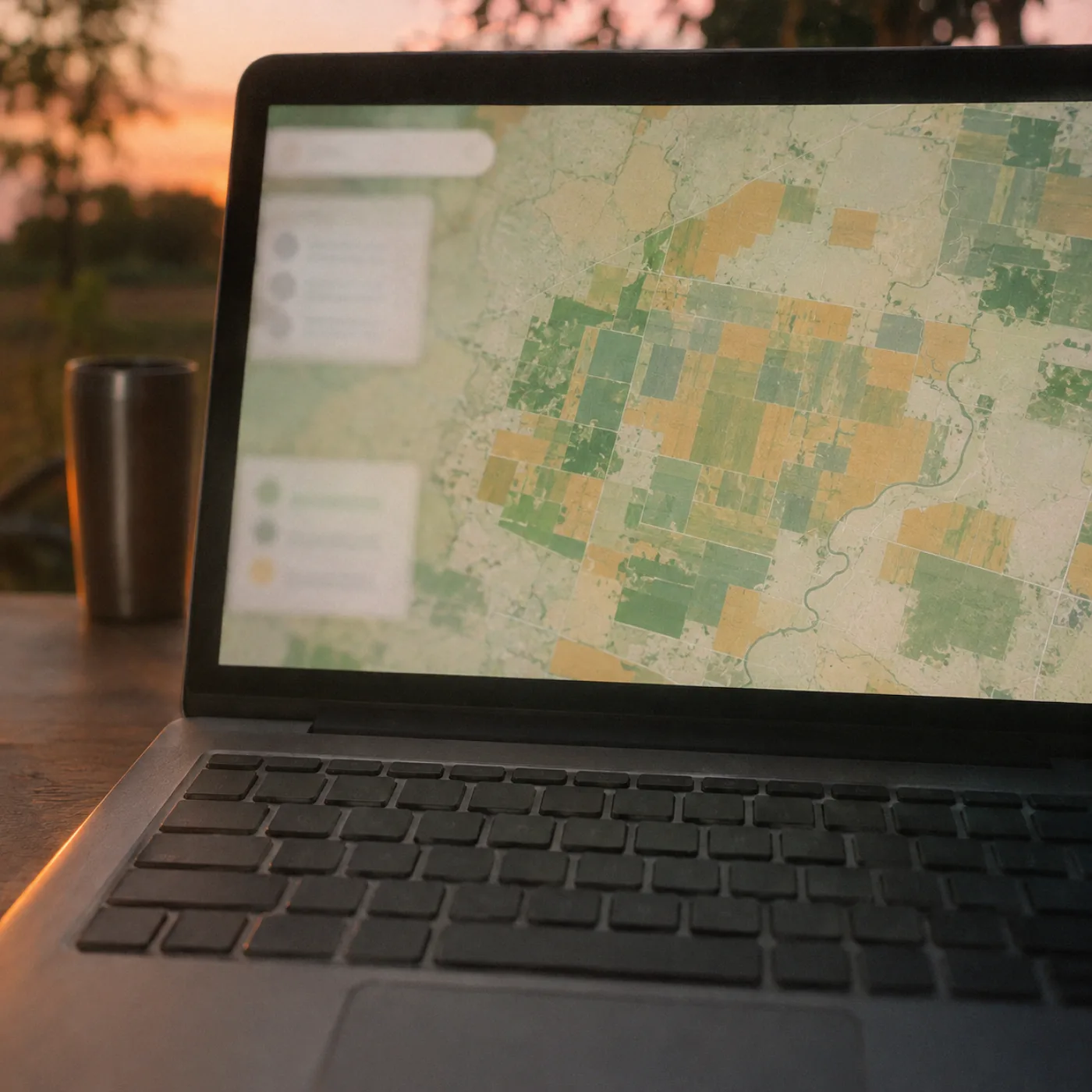
Why the Paddy Looked Brown in October7 minA reader’s green field showed up tan in the image, and both were right.- Seen from OrbitFreeOne issue every other Thursday, built around a single satellite image and what it shows.
To learn
Read a Satellite Image$49Learn what a free satellite image shows and how to check it against the ground.- Satellite Image Glossary$6Plain definitions of the terms you meet first: band, pixel, index, revisit and more.
- Band Combination Cheat Sheet$8Which three bands to show, and what each colour mix is good at.
- Field Checking Worksheet$9A page to fill in on the ground so you can compare a field with its pixels.
To keep
Canyon run tee$28A soft cotton tee, printed to order.- About VivekI work as a remote-sensing analyst in Bengaluru. Most of my day is spent comparing a picture from space with what is on the ground, and I have learned that the two disagree more often than people expect, and usually for a good reason.
Newsletter
Latest letters
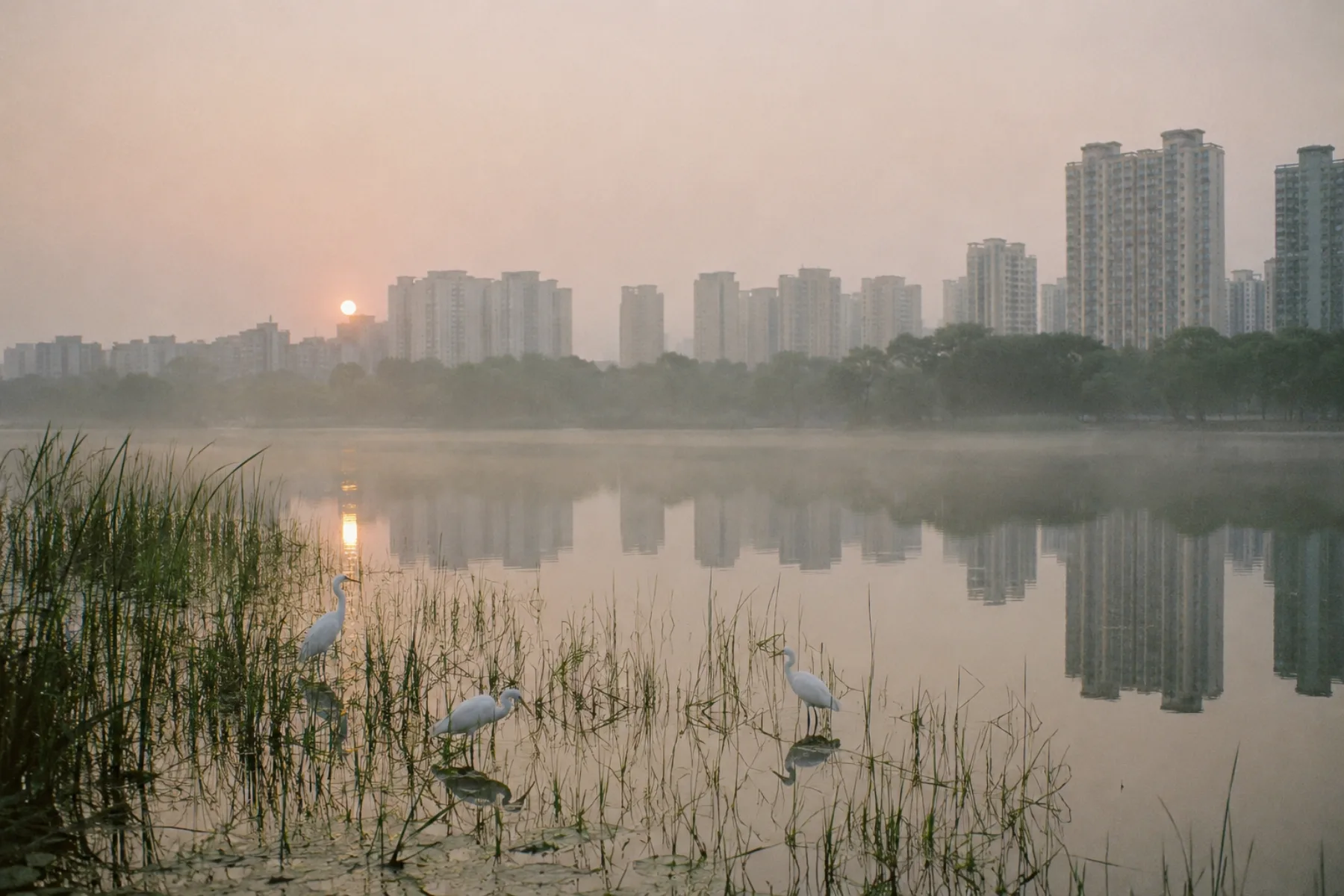 Floods
The Lake That Filled Back in Two Wet Weeks
A city lake, shrunken in the dry months, tracked day by day through October.
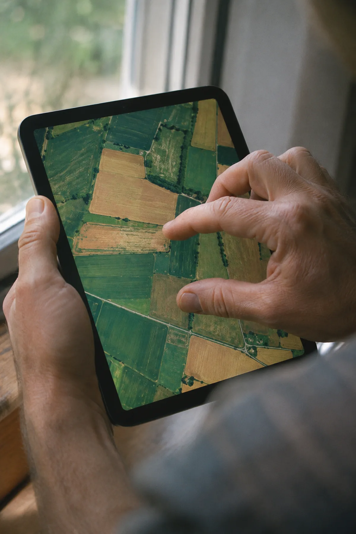 Method
Twelve Days of Cloud Over One Field
What to do when the monsoon hides your field from every pass of the satellite.
 Floods
Reading a Flood Map on a Bus Seat
What survives when a flood picture is shrunk to a phone screen.
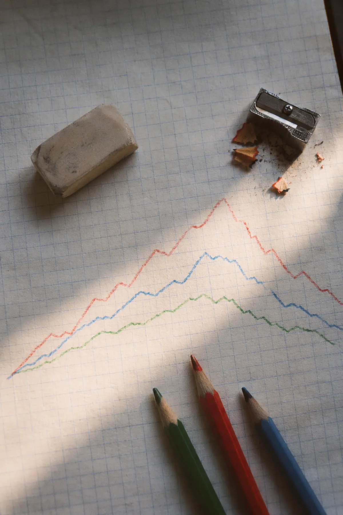 Method
What a Vegetation Index Is Really Counting
A plain walk through one number that turns leaves into colour, and where it misleads.
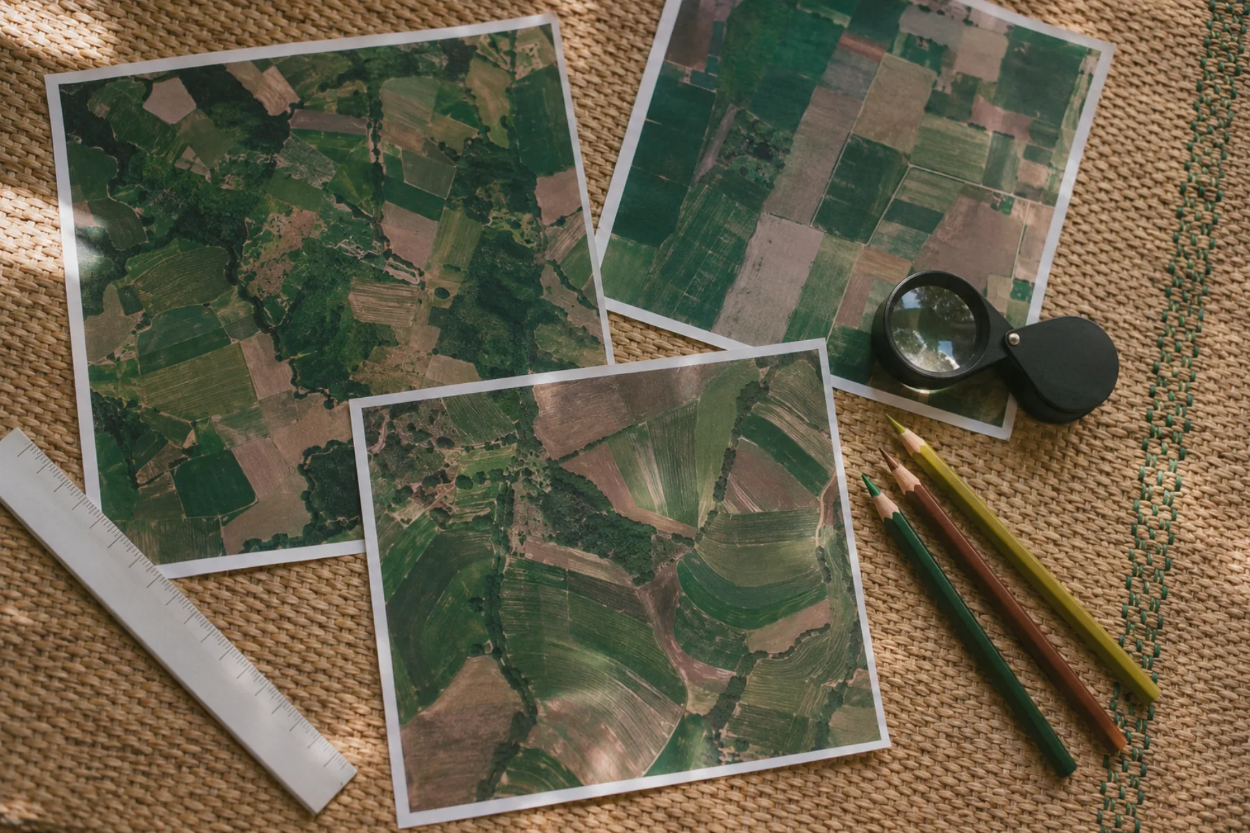 Fields
Printing Forty Fields and Cutting Them Out
How a floor of paper squares taught me to see crop patches by eye.
 Floods
Black Water in Radar: Flood or Shadow?
Radar shows water as dark, but so do smooth roads, and so do shadows.

About me
I work as a remote-sensing analyst in Bengaluru. Most of my day is spent comparing a picture from space with what is on the ground, and I have learned that the two disagree more often than people expect, and usually for a good reason.
These letters are numbered issues. Each takes one image, a paddy, a swollen river or a lake in a dry year, and walks through it slowly, including the limits. If an image cannot answer a question, I will say so.